
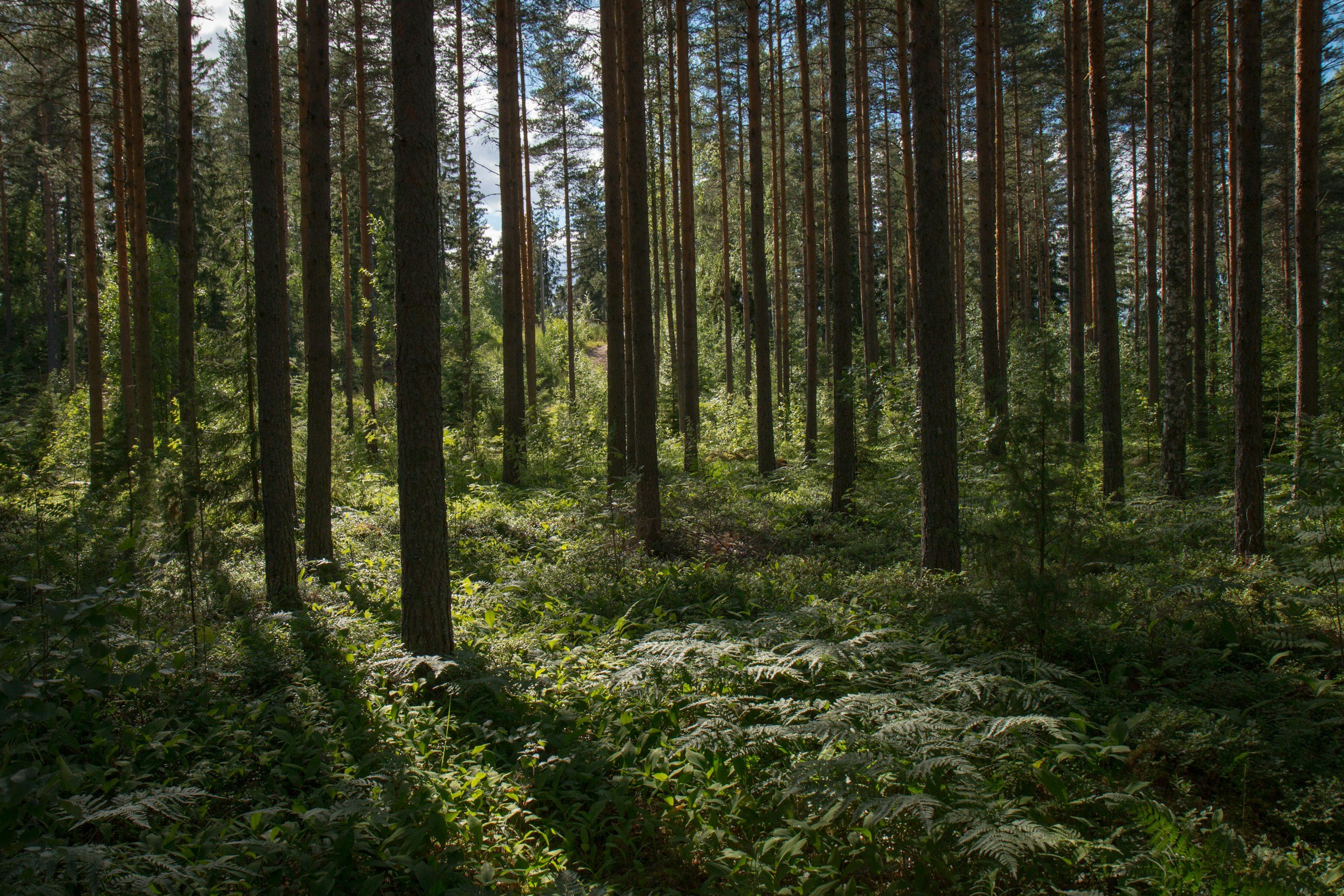
Evaluate the influence of Audubon’s Conservation Ranching (ACR) program on soil health and soil carbon outcomes
Descriptions: The objective of this project is to quantify the potential carbon and soil health benefits associated with Audubon’s Conservation Ranching program. To achieve this, we will leverage field samples collected from more than 80 ranches to determine the optimal sample size for improved quantification of SOC storage. Additionally, we will test algorithms and methods to establish a high-performance computing platform-based digital soil mapping approach for evaluating various soil health indicators. This unique broad-scale grassland dataset will be used to improve process-based modeling systems, enabling the simulation of long-term carbon dynamics and SOC changes associated with grassland restoration and conservation practices.
Main collaborators: National Audubon Society, Woodwell Climate Research Center, National Fish and Wildlife Foundation.

Image source: National Audubon Society

Establish a broad-scale carbon monitoring system for U.S. grasslands in the Great Plains
Description: The objective of this project is to implement a carbon monitoring system for quantifying potential climate benefits associated with improved grassland management. This monitoring system will be used to guide a pilot program that aims to quantify soil carbon storage and greenhouse gas fluxes from over 2 million acres of U.S. grasslands in the Great Plains using a regionally calibrated and validated modeling system. A robust, computationally efficient platform will be established to run simulations for a large number of sites at high spatial and temporal resolutions.
Main collaborators: Woodwell Climate Research Center, National Fish and Wildlife Foundation, National Audubon Society, World Wildlife Fund.

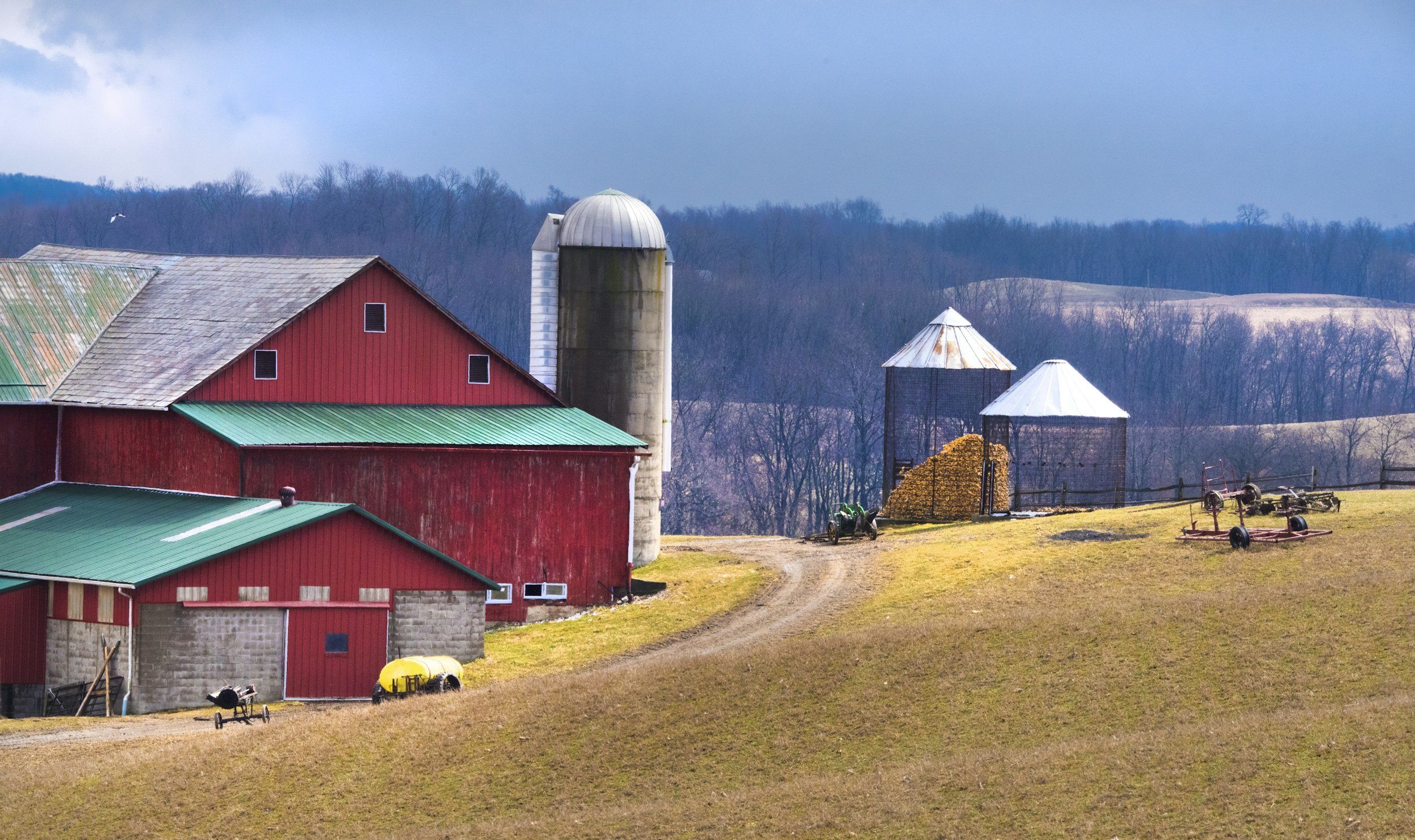
Long-term monitoring plan for Lamont Sanctuary Forest
Description: We are collaborating with a group of soil and forest scientists to establish a long-term experimental site at Lamont Sanctuary Forest. The ultimate goal is to capture atmospheric CO₂ in forest biomass and soils through improved management. For this project, we will monitor the influence of management and climate factors on tree growth, soil carbon changes, soil health, and greenhouse gas emissions. This project will provide both research and education opportunities for students.

Improve carbon management for local food and agricultural systems
Description: This project aims to improve carbon management for local food and agricultural systems in collaboration with NGOs, conservation partners, research institutions, and educational centers. By working with these partners, we aim to develop multiple agroecosystems and climate-focused projects to explore management effects on various ecosystem service outcomes. Our focus is not only on carbon but also on other key ecosystem co-benefits such as wildlife biodiversity, ecosystem productivity, and food quality. Through this project, we hope to develop open-source modeling tools and strategic sampling plans, followed by the development of decision support tools that will directly benefit stakeholders in the Hudson Valley region and throughout New York State.
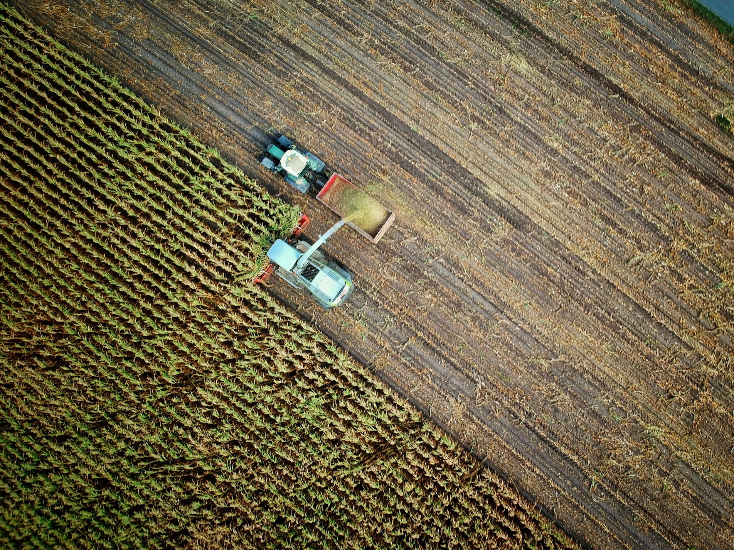
Improve the monitoring of agricultural ecosystem outcomes at the broad scale
Description: We work closely with the Agricultural Model Intercomparison and Improvement Project (AgMIP) group to design projects that aim to improve the monitoring of management-associated ecosystem service outcomes from various agricultural systems. These projects focus on co-developing modeling tools with stakeholders (e.g., farmers, ranchers, policymakers) and reducing the uncertainty of model estimates through model intercomparison and ensemble activities. In particular, we are currently working in collaboration with USDA and major soil and crop modeling groups to improve the simulation of soil carbon and nitrogen dynamics under different management scenarios in U.S. croplands and grasslands (the “Farm Practice-MIP Project”).


Establish and evaluate a spatiotemporal dynamic soil property modeling framework
Description: Through collaboration with the USDA NRCS soil survey center, we are designing a modeling framework that tackles the spatial and temporal heterogeneity in dynamic soil properties. This framework will leverage multi-source datasets, including remote sensing imagery, soil survey data, management information, and environmental data layers, with deep learning algorithms. Uncertainties associated with model estimates will be used to inform future soil survey designs at different scales.